
Built Environments Lab //
Imprint of Hawai‘i Artist Sean Connelly
Hawai‘i / Worldwide
info@afteroceanic.com
Social: @afteroceanic
PROJECTS
Design Innovation and Material Advancement
After Oceanic represents a deep commitment to engaging art in Hawai‘i with architectural innovation grounded in the careful study of materials and their relationship to place. We explore how native and island-based materials—whether organic or industrial—can inform the design and recovery of built environments that support ecological balance, cultural continuity, and future adaptability.
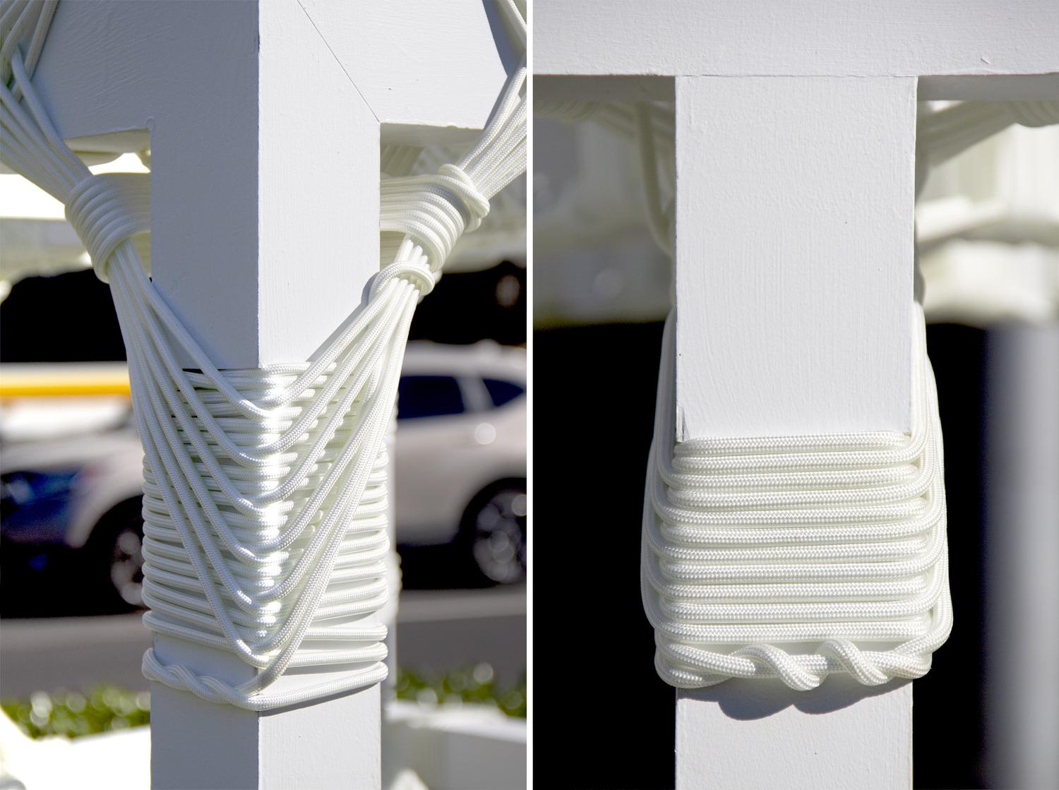
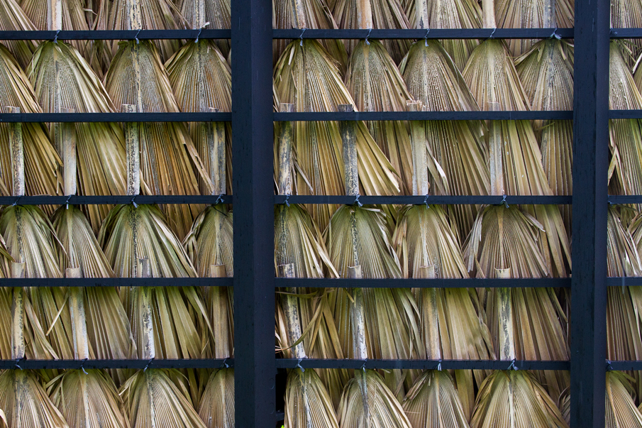
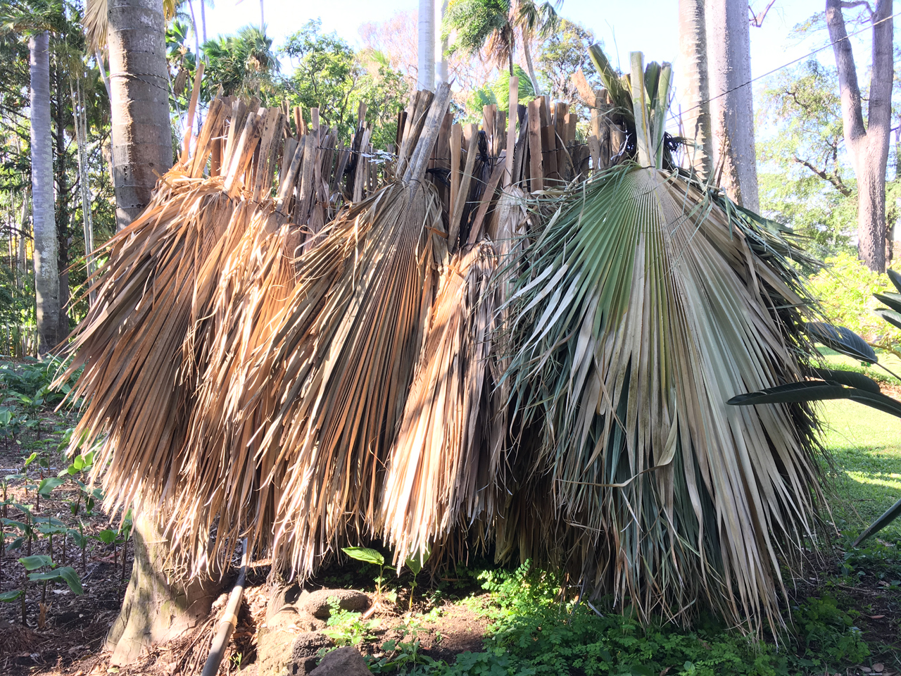
Creative material studies examine traditional techniques, such as indigenous thatching and canoe lashing, alongside modern architectural frameworks, challenging the dominance of global industrial materials like steel while reintroducing localized knowledge systems. By reimagining these materials within contemporary contexts, we seek to bridge the past and future, offering new possibilities for architecture that reflect Hawai‘i’s unique biocultural landscape.
Each exploration is a collaboration of craft, culture, and sustainability, producing structures that are not just functional but symbolic of a larger commitment to justice, regeneration, and Native futures. Through architectural interventions that adapt and integrate, we address urgent ecological and social questions while encouraging innovation in the design of environments that foster community wellbeing.



Architecture and Strategic Cartography
Hui Mālama I Ke Ala ‘Ūlili (HuiMAU) Restoration Project
Scope: Design Services, Lease Negotiations, Land Use Consulting
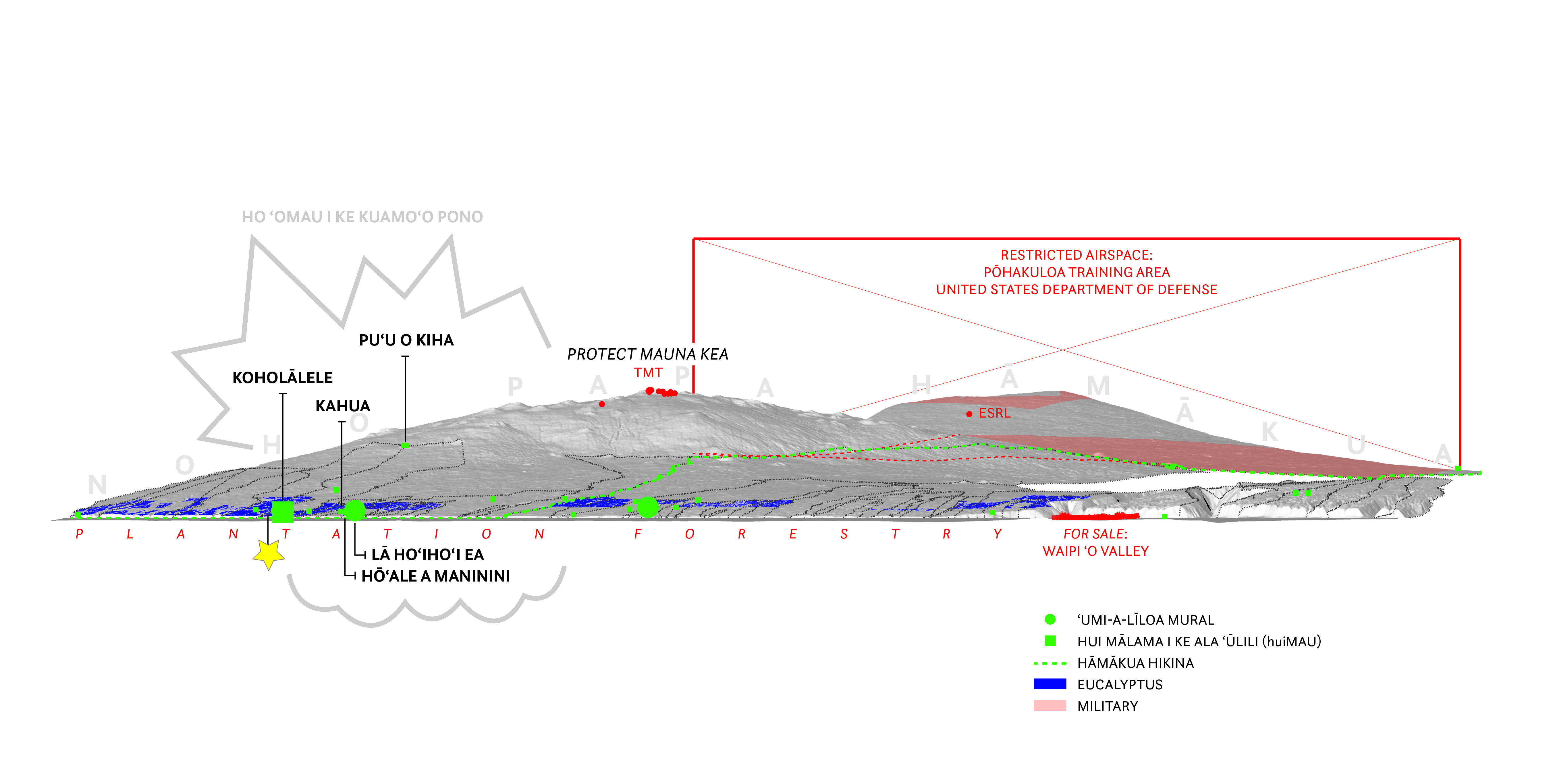
After Oceanic continues to assist with this project for a Native Hawaiian community-based nonprofit organization, HuiMAU—whose mission is to re-establish the systems that sustain our community through educational initiatives and land-based practices that cultivate abundance, regenerate responsibilities, and promote collective health and well-being.
The work is centered on the development and sustainable stewardship of 1000 acres of land in Hāmākua Hikina on Hawai'i Island. This project focuses on crafting a master plan and pre-construction designs that aim to foster regeneration and growth of place-based ancestral knowledge, healthy food and ecosystems, and the strength of ‘ohana, ensuring their capacity to live and thrive in Hāmākua for generations. The project includes the conceptualization of ʻāina restoration and food cultivation initiatives, alongside the design of a versatile hālau (learning center, community hub, commercial kitchen) and agricultural workforce housing. This endeavor not only aspires to reintegrate the community with its land and traditions but also to carve out new paths that respect and promote the collective well-being and sustainability of the Hāmākua region.


‘Uko‘a-Loko Ea Fishpond Building Concept
Scope: Design Services, Land Use Consulting
The Mālama Loko Ea Foundation's Master Plan ambitiously aims to rejuvenate O‘ahu's third-largest wetland, integrating ecological restoration with the creation of a sustainable community anchored in Native Hawaiian culture and educational excellence. Through phased developments that include educational spaces, restoration efforts, and community facilities, the plan aspires to seamlessly blend with the region's cultural and natural landscapes. At the heart of this project is the Foundation Building, conceived as a central learning and community hub. It embodies the foundation's commitment to cultural and environmental stewardship, merging traditional aesthetics with modern sustainable practices. This architectural gem is designed to be a nexus for education, administration, and community engagement, bridging generations and celebrating Hawai‘i's rich heritage and ecological diversity.

Hui Ho ‘oleimaluō Masterplan + Building Concept
Scope: Design Services, Lease Negotiations, Land Use Consulting
The "Kaumaui Learning Laboratory" project, in collaboration with Hui Ho‘oleimaluō and Ka ‘Umeke Kā‘eo, aims to revitalize the Kaumaui loko wai (fishpond) in Hilo, Hawai‘i, transforming it into a regenerative, ecological, and biocultural place of learning. After Oceanic provides integrated design services across three phases: pre-design and concept design, design coordination, and construction administration. The project emphasizes a holistic relationship between land, people, and architecture, focusing on education, food sovereignty, climate justice, and cultural excellence.
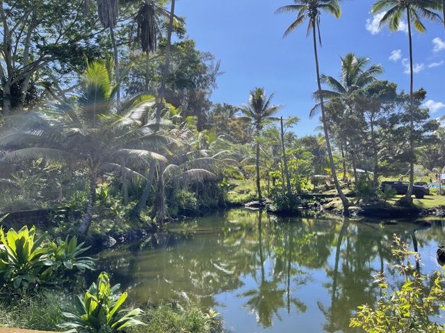
‘Uko‘a-Loko Ea Fishpond Masterplan
Scope: Design Services, Land Use Consulting
The Mālama Loko Ea Foundation's Master Plan, created in October 2021, outlines a comprehensive strategy for the restoration and sustainable development of the ‘Uko‘a-Loko Ea Wetland Fishpond Complex in Waialua, O‘ahu. This historic Hawaiian fishpond, once a significant cultural and ecological resource, has faced considerable shrinkage from its original size due to a century of infrastructural developments and environmental changes. The Masterplan aims to address these challenges through a culturally and historically informed, phased approach to restore and rejuvenate the fishpond complex for educational, cultural, and ecological purposes. The plan envisions the transformation of the area into a sustainable, self-reliant community, emphasizing ‘āina-based educational programs and agricultural uses. The plan also considers the impact of climate change and incorporates strategies for adaptation and resilience, such as dredging to restore the fishpond's original depth and using dredged sediment for site elevation to counter flooding risks.

Mākena Golf and Beach Club Affordable Housing Project
Scope: Advocacy, Site Analysis, Design Services, EIS
Afteroceanic works directly with the project design and planning team in service of the community implementation of prior settlement agreements between the developer and grassroots groups amid ongoing negotiations to design and implement sustainable local affordable housing options and ecological restoration for Maui’s contentious booming resort area.



Consuelo Foundation
Hawai‘i State Child Abuse and Neglect 1992-2016 Mapping Study
Scope: Strategic planning, Data Analysis, Spatial Modeling.
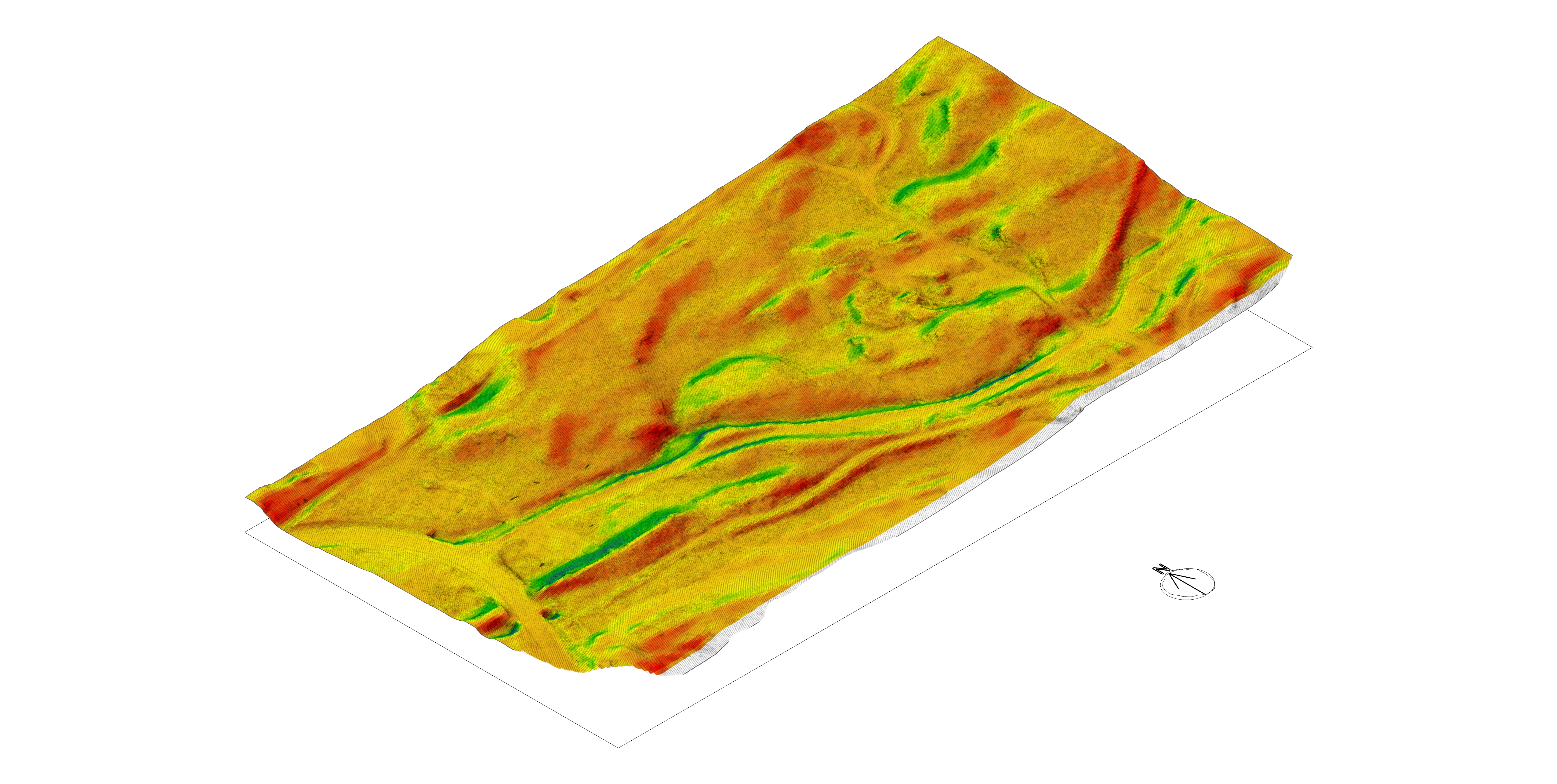
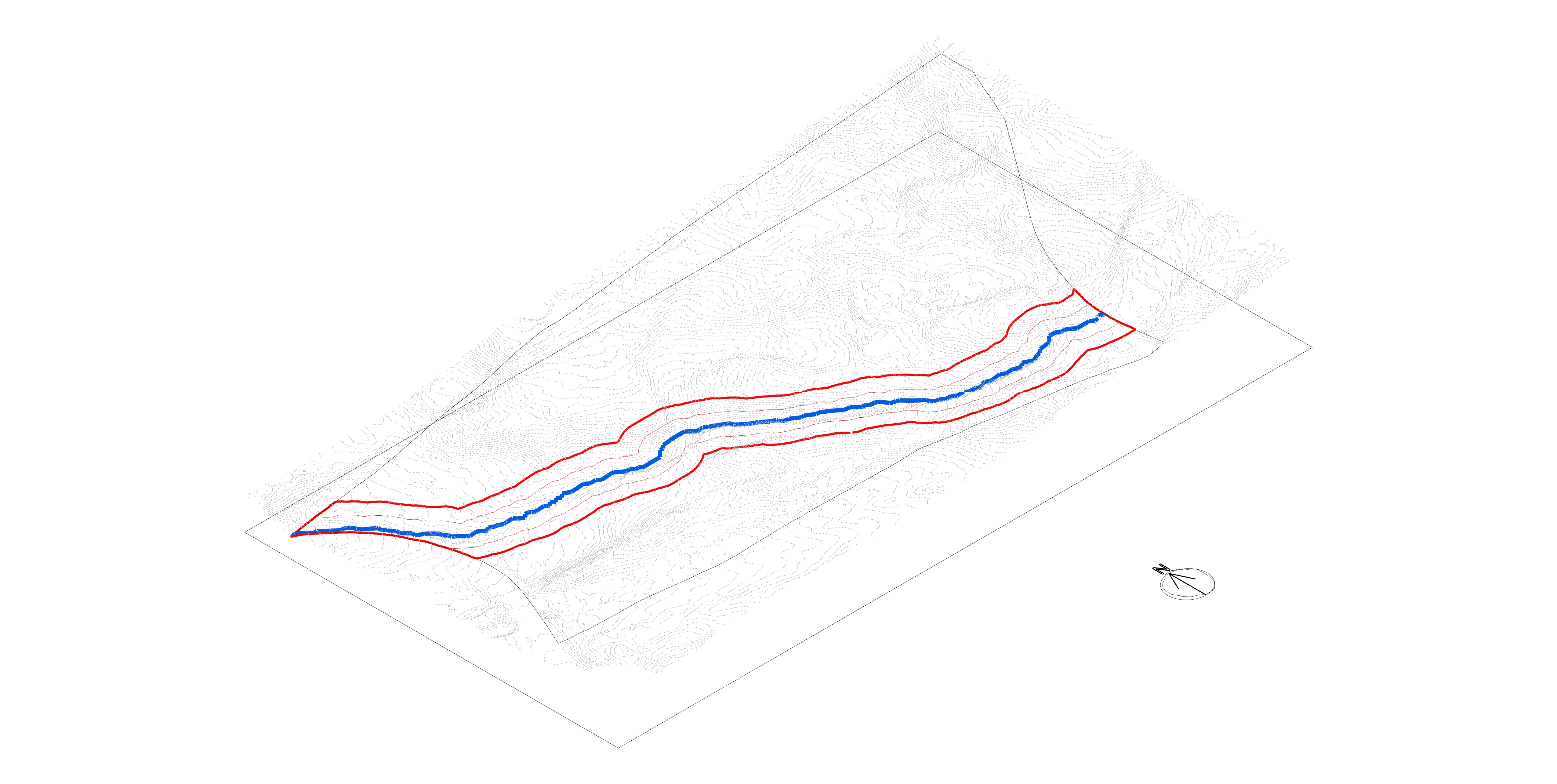
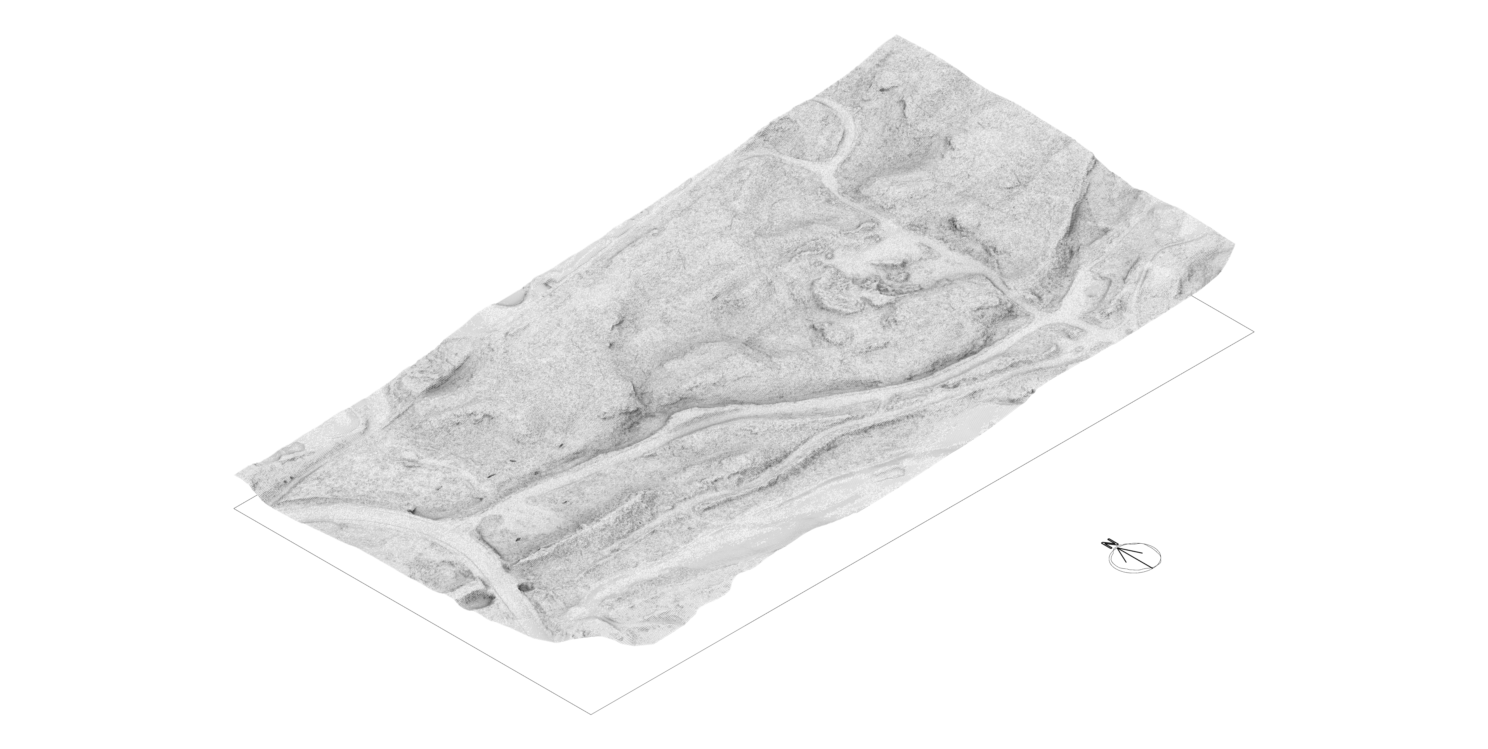
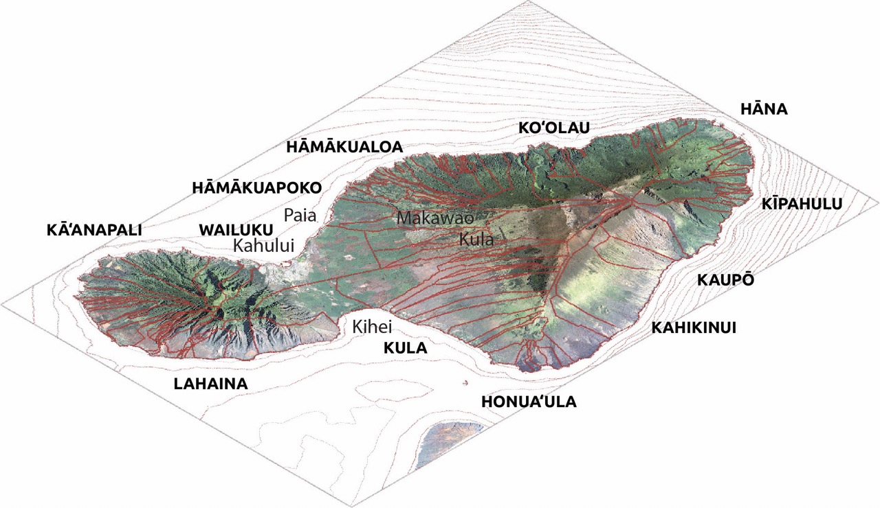
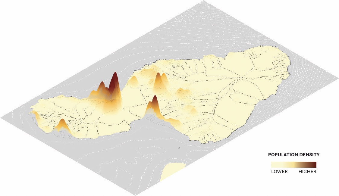
Afteroceanic regularly works with Consuelo Foundation toward their mission to prevent and treat abuse, neglect and exploitation of children, women and families in the Philippines and in Hawai‘i. For this mapping study, the Hawaii Revised Statutes (HRS) Chapter 350 defines child abuse and neglect and assigns the Department of Human Service to receive and investigate reports of child abuse and neglect and to maintain a central registry of reported child abuse and neglect cases. Afteroceanic designed and directed the creation of the novel zip code level dataset combined with geospatial infographics to better understand health and abuse across the Hawaiian Islands.
Healthcare Association of Hawai‘i
Community Health Needs Assessment Spatial Mapping
Scope: Research Analysis, Community Engagement, Spatial Modeling.
Featuring excerpts of the artist’s concept Hawai‘i Health Atlas, Afteroceanic provided innovative graphics from the atlas to help produce the Hawaii Community Health Needs Assessment (CHNA) Report required by the IRS for all U.S. private nonprofit hospitals to conduct every three years. The Healthcare Association of Hawai‘i consolidates reporting for the State of Hawai‘i to identify significant health needs in the community, based upon the input of key stakeholders and community members, available research, and other data points.
Design Education
Lego Ahupua‘a
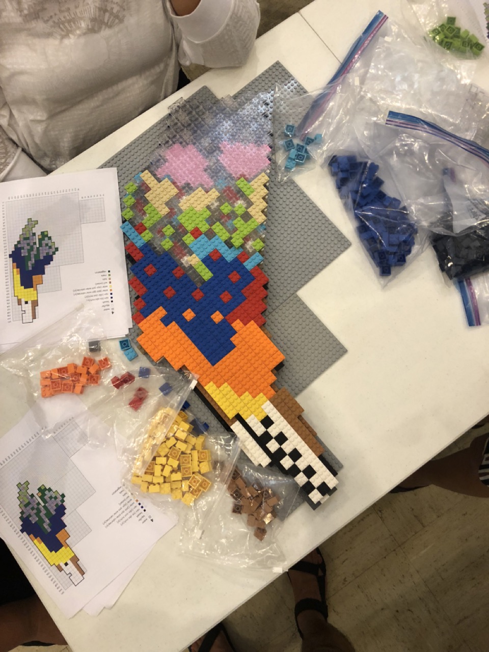
This project showcases an innovative educational tool designed to aid conversations about the spatial aspects of ‘āina and ahupua'a into the classroom through a hands-on, engaging learning experience. Utilizing over 1500 LEGO pieces, the project transforms GIS data into a scaled, color-coded 3D model, representing various environmental elements such as aquifers, soil types, and precipitation levels. Each LEGO equals 100 meters, with colors assigned to different geospatial aspects of the built environment, making it a vivid, interactive educational activity that takes about 3 hours to complete. This initial prototype paves the way for future expansions to include other ahupua'as, enriching educational experiences through creative play.
This project showcases an innovative educational tool designed to aid conversations about the spatial aspects of ‘āina and ahupua'a into the classroom through a hands-on, engaging learning experience. Utilizing over 1500 LEGO pieces, the project transforms GIS data into a scaled, color-coded 3D model, representing various environmental elements such as aquifers, soil types, and precipitation levels. Each LEGO equals 100 meters, with colors assigned to different geospatial aspects of the built environment, making it a vivid, interactive educational activity that takes about 3 hours to complete. This initial prototype paves the way for future expansions to include other ahupua'as, enriching educational experiences through creative play.
‘Āina Holodeck
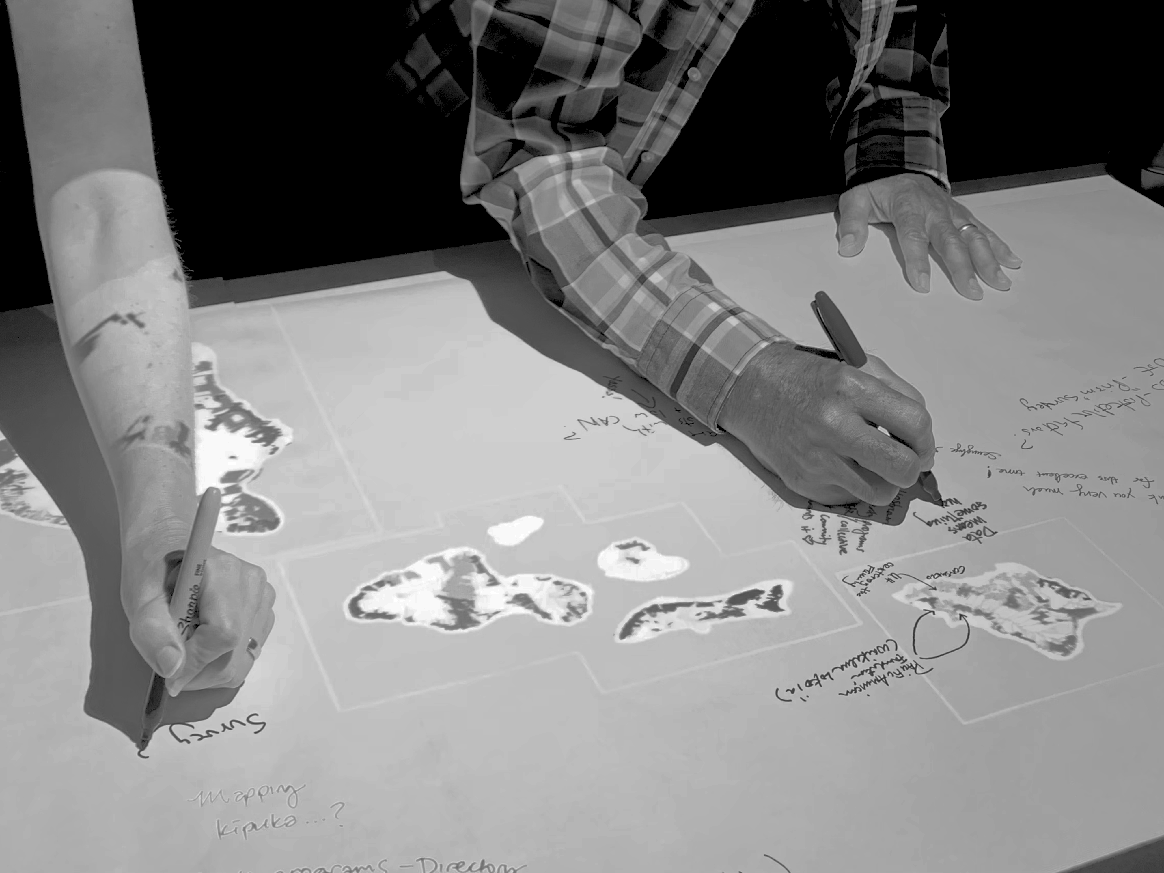
The Hawai ‘i Futures Holodeck a dynamic, hybrid physical-virtual platform created with a satellite-accurate physical model upon which data-driven graphics are projected and displayed.
The tangible, technologic 3D interface is designed to help conversations infuse spatial thinking. The platform redefines and refreshes a pathway to transform learning and collaboration in space to build consensus into a common kuleana to recover ahupua‘a recovery. The Hawai ‘i Futures Holodeck ignites a sense of virtual platform for kuleana and spatial literacy at the intersection of new media, public art, and Indigenous intellect.
This 3D prototype follows innovations in mapping and the production of spatial tools at the Harvard Graduate School of Design and MIT Media Lab. Its construction was made possible through the support of the Honolulu Biennial Foundation, The Taiki and Naoko Terasaki Family Foundation, The Sullivan Center at ‘Iolani Schools, and the School for Examining Essential Questions of Sustainability (SEEQS). Additional presentations of ALA WAI CENTENNIAL with the holodeck have been performed for groups at UH Manoa School of Architecture, Hawaii State Legislature, UH West Oahu, NOAA, City and County of Honolulu, and Bloomberg Philanthropies.
Institutional Work
HAWAI‘I NONLINEAR [501(c)(3) nonprofit]
HAWAI‘I NONLINEAR is a nonprofit public art and stewardship project caring for the wellbeing of Native built environments across Pae ‘Āina Hawai‘i (Hawaiian Islands). We create critical conversations around the past, present, and future of recovering Indigenous regenerative places centering the cultural resurgence of art, architecture, and decolonial education in Hawai‘i. We supports practitioners leading in culture, food, sovereignty, and land justice, with the ultimate goal of transforming Hawai‘i built environments with Native intellect and advancement to overcome the physical barriers that prevent sustenance, which formed across the Hawaiian Islands through generations of settler colonialism, ecological devastation, and racial injustice over the past 125 years.
HAWAI‘I NONLINEAR is a nonprofit public art and stewardship project caring for the wellbeing of Native built environments across Pae ‘Āina Hawai‘i (Hawaiian Islands). We create critical conversations around the past, present, and future of recovering Indigenous regenerative places centering the cultural resurgence of art, architecture, and decolonial education in Hawai‘i. We supports practitioners leading in culture, food, sovereignty, and land justice, with the ultimate goal of transforming Hawai‘i built environments with Native intellect and advancement to overcome the physical barriers that prevent sustenance, which formed across the Hawaiian Islands through generations of settler colonialism, ecological devastation, and racial injustice over the past 125 years.


‘ĀINAVIS MAPPING PROJECT
‘ĀINAVIS (‘Āina Vision)—an unincorporated, artist-driven, collaborative cartography project—maps the resurgence of ‘āina across Hawai‘i built environments. It goes beyond conventional mapping, using geospatial dialogue to visualize ‘āina’s physical role creating intellect and wellbeing. ‘ĀINAVIS engages a novel index of ‘āina organizations assembled between 2019-2023 with several dozen contributors organized by Artist Sean Connelly and Poet Dawn Mahi; shown alongside public and custom social, historical, and environmental GIS datasets; sparking challenging yet transformative conversations.
‘ĀINAVIS (‘Āina Vision)—an unincorporated, artist-driven, collaborative cartography project—maps the resurgence of ‘āina across Hawai‘i built environments. It goes beyond conventional mapping, using geospatial dialogue to visualize ‘āina’s physical role creating intellect and wellbeing. ‘ĀINAVIS engages a novel index of ‘āina organizations assembled between 2019-2023 with several dozen contributors organized by Artist Sean Connelly and Poet Dawn Mahi; shown alongside public and custom social, historical, and environmental GIS datasets; sparking challenging yet transformative conversations.


HAWAI‘I FUTURES Architecture Studio Interventions
HARVARD GSD, OMA, UH MANOA, COLUMBIA GSAPP, UTSOA, MIT
Hawai‘i-Futures champions 'Āina as a proactive measure to enhance wellbeing in our built environment. As a public art project, Hawai‘i-Futures presents an introduction for innovative concepts that propel the discourse of 'Āina as both a built environment and a living system of sustenance, forward. The term “recovery,” to describe 'Āina work, is used over the term “restoration” to express a nuanced understanding of the process not as a return to the past but as a contemporary futurist process of reclaiming lost, stolen, erased, corrupted, or destroyed land, water, and other island resources essential to the native bioculture. “Agromilitourization,” a term coined by the artist for Hawai‘i Futures, is a portmanteau of agriculture, “militourism”—a concept by Teresia Teaiwa describing her initial encounter with Honolulu—and urbanization, used to identify the specific forces shaping the built environment of the Hawaiian Islands in promotion of US urbanism—a dynamic system of settler colonialism that continues to impose ecological devastation upon the occupied Native territories of the United States while perpetuating racial injustices against Native people.
Since it’s humble launch in 2010, Hawai‘i-Futures has accumulated global influence in thinking about the built environment through the lens Hawai‘i, and has been utilized in various curriculum in educational institutions both in Hawai‘i and nationally, most notably in graduate programs of architecture, landscape architecture, and planning at Harvard University, Massachusetts Institute of Technology (MIT), Columbia University, and the University of Hawai‘i at Mānoa, emphasizing the global relevance of the future wellbeing of built environments in Hawai‘i, the Pacific, and beyond.


Public Scholarship
HAWAI‘I JOURNAL OF HISTORY, VOL. 56 (2022)
‘Uko‘a Loko Ea Fishpond:
Digital Mapping and Spatial Analysis of O‘ahu and American Infrastructure Projects Since 1898
Article: Link
Sean Connelly's article "‘Uko‘a Loko Ea Fishpond: Digital Mapping and Spatial Analysis of O‘ahu and American Infrastructure Projects Since 1898" published in the Hawaiian Journal of History offers an in-depth examination of the impact of over a century of American infrastructure projects on the ‘Uko‘a Loko Ea Fishpond in Hale‘iwa, Hawai‘i. This fishpond is part of a larger biocultural system that has been significantly altered and degraded by various federal and state developments since Hawai‘i's annexation in 1898. Through digital mapping and spatial analysis, Connelly traces the transformations of the land and its use, highlighting the cumulative effects of these projects on the fishpond and its surrounding ecosystems. The article underscores the importance of understanding and preserving Hawai‘i's biocultural systems, emphasizing the need for restoration efforts that consider the historical and cultural significance of places like ‘Uko‘a Loko Ea Fishpond.
Readers of this article can expect to gain a nuanced appreciation for the complex interplay between land use, cultural heritage, and environmental stewardship in Hawai‘i. Connelly, drawing from a rich array of sources and utilizing advanced spatial analysis techniques, not only documents the historical transformations of the fishpond but also advocates for a future in which biocultural restoration plays a central role in land management and planning decisions. This work is a valuable contribution to the fields of Hawaiian history, environmental studies, and urban planning, offering insights into how digital tools can be used to uncover and address the challenges facing Hawai‘i's unique landscapes and ecosystems.


︎︎︎


